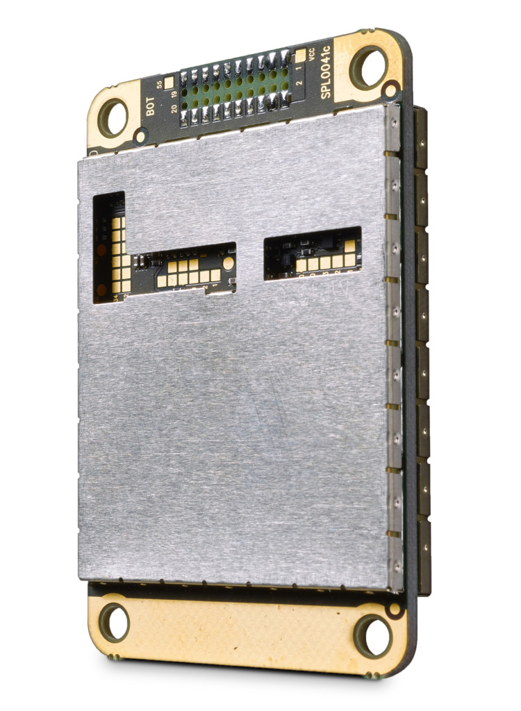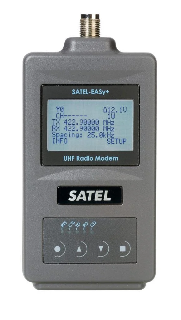
SATEL-EASy+
Offers a modern solution for various long-range applications.
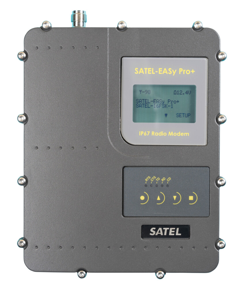
| 320 … 380 / 403 … 473 MHz |
| RS-232, -422, -485 |
| 1 W |
In GNSS (Global Navigation Satellite System) positioning and timing data is encoded in the satellite signals from space. GNSS is used for example in land surveying, mapping, location based services, precision farming, space applications, maritime, machine control and mining. Accuracy, continuity and availability are essential in GNSS.

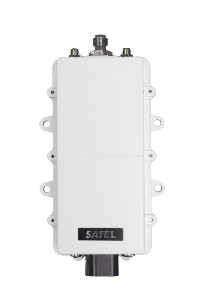
High-Precision GNSS RTK Data Transmission
SATEL provides reliable solutions for real-time GNSS RTK positioning with centimeter-level accuracy. Our technology is trusted worldwide for its quality, continuity, and low life cycle cost. Installation is simple, whether using SATEL as an external radio or as an integrated module.
Flexible Transmission Options
With SATEL, you can choose the best method for your environment—local radio or internet-based transmission—ensuring stable and accurate positioning for demanding applications.
Precision agriculture or precision farming is a modern way to use technology to monitor and optimize production processes. It uses sensor technologies, satellite navigation and positioning technology.
Precision farming increases the quantity, accuracy and quality of agriculture. Its aim is to save costs, reduce environmental impact and, of course, produce more and better food. It makes it possible to use less energy, water, fuel, pesticides and fertilizers. Precision farming helps in managing production in an environmentally sustainable way.
Technology is used to measure variations in field’s conditions and then utilize this site-specific information in matching the fertilizer, seed and chemical rates with the conditions. Fertilizers and pesticides are used only where and when they are actually needed. This technology can also be used to assess individual animal’s condition and needs in larger herds, which enables optimizing feeding on an animal basis.
Most common technologies used are yield mapping, soil mapping, auto-guidance machinery steering, and variable rate technologies (VRT).


If you want to know more about the possibilities of radio technology, please contact us or our local distributor.