Intelligent Transportation Systems are improving transportation everywhere. Remote-controlled traffic signs, traffic light priority, passenger information, automatic vehicle location and real-time weather updates improve road safety and reduce traffic jams.
Traffic services are constantly being developed, driving times optimized and fuel consumption reduced. Operational communication is a major factor in all this. Everything has to be kept up-to-date, accurate, coordinated, safe and secure.

The solution:
SATEL’s radio networking technology
SATEL’s wireless connectivity solutions handle the data transfer and gathering in real time, reliably and efficiently with a range up to 100 kilometers. Our radio technology is highly tolerant of weather conditions and geological disturbances. The system works even during large events or other special occasions when other technologies may face difficulties.
Radio technology is very flexible. It is easy to maintain and expand even years after the installation. The user of the radio data network has full control over their data communications system. Radio technology is a smart investment with low life cycle costs.
Sustainability matters in ITS
The goal of ITS is to process and share important information that can be used to improve safety by preventing crashes, keep the traffic moving more fluently, and to reduce the negative environmental impacts of traffic.
By automating traffic, we are able to cut down CO2emissions. Operations become more efficient, vehicles spend less time waiting at red lights, and because there are less vehicles and less idling, less fuel is consumed.
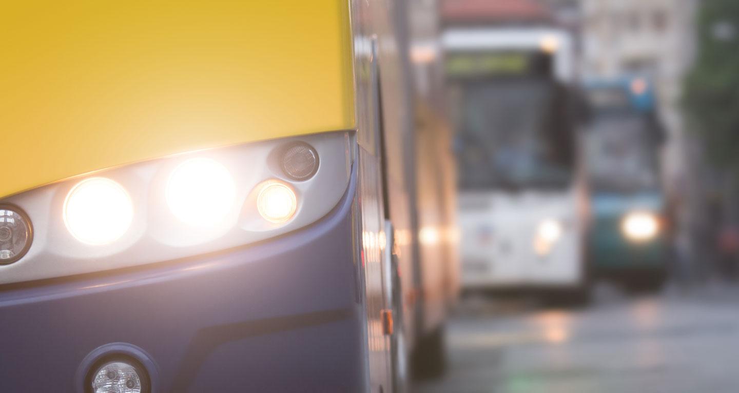
Traffic light priority (TLP)
Buses, trams and emergency vehicles can be given priority in traffic light sequencing by sending priority requests to the traffic light controller. By establishing a V2X communication link between the vehicle and traffic light controller, the operator can reduce fuel consumption, variations in driving time and CO2emissions. This means a more efficient, greener and better service for public transport users. For emergency vehicles every second reduced from the travel time is important.
Real-time passenger information
The passenger information relies on the Automatic Vehicle Location (AVL) system using GPS-satellite navigation and the odometer of the bus. This data is used to update the real-time database of bus arrival times at each bus stop. RTPI increases efficiency, safety and customer satisfaction.
Variable Message Signs (VMS)
VMS provides a reliable and secure data link to remotely update message signs. The VMS can be used to display parking space information inside the inner city, weather conditions of the road network or public transport schedules at the stops. The use of VMS can reduce driver’s stress, inform them about traffic congestions and possible incidents.

If you want to know more about the possibilities of radio technology, please contact us or our local distributor.
-

Traffic System
Parking in Bolzano
Advance information on available parking areas and vacant parking places helps the drivers to find the parking space quickly, thus improving the quality of the public service, enhancing the fluidity of the city traffic and reducing downtown traffic congestion.
-
Traffic System
Helsinki, fleet management
Real-time passenger information improves public transport. Lower ticket prices, shorter journey times and punctuality start to appeal more people than private driving. There are at least 150 public transport information systems based on traffic telematics in Europe and the number is growing.
-
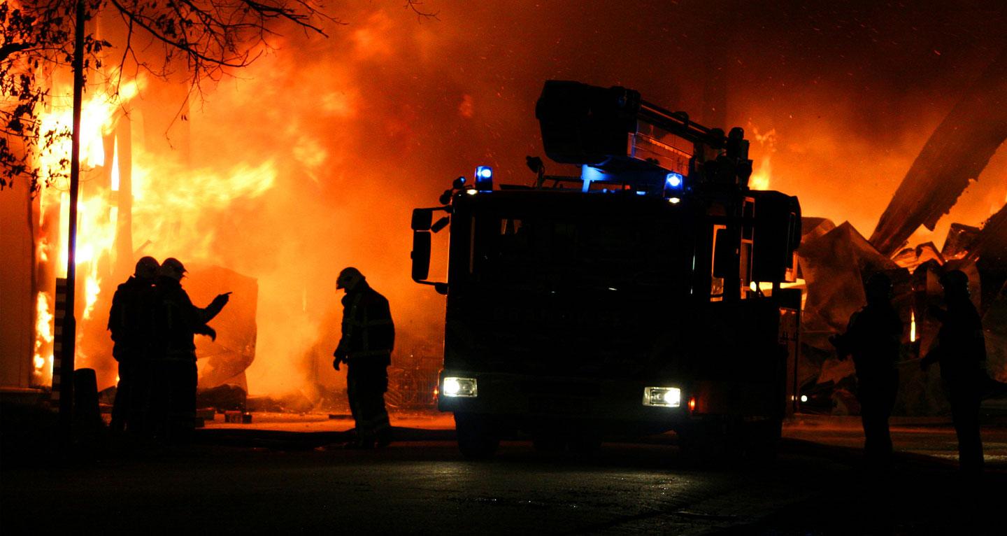
Traffic System
Nerikes, Sweden
Time and accuracy are everything to rescue workers. Accurate navigation helps fire fighters find the right route, which saves time – and lives. The communication links must always work.